
Current Status of Super Typhoon Dolphin
As of July 30, 2026, Super Typhoon Dolphin has reached a critical stage of development in the Western Pacific. With sustained winds currently clocked at 155 miles per hour, it is officially classified as a Category 4-equivalent super typhoon. National weather agencies and the Joint Typhoon Warning Center are monitoring a period of rapid intensification that may push the storm into Category 5 territory before the end of the day. For residents in the path of this system, the time for preparation is closing rapidly as outer rainbands begin to impact coastal regions.
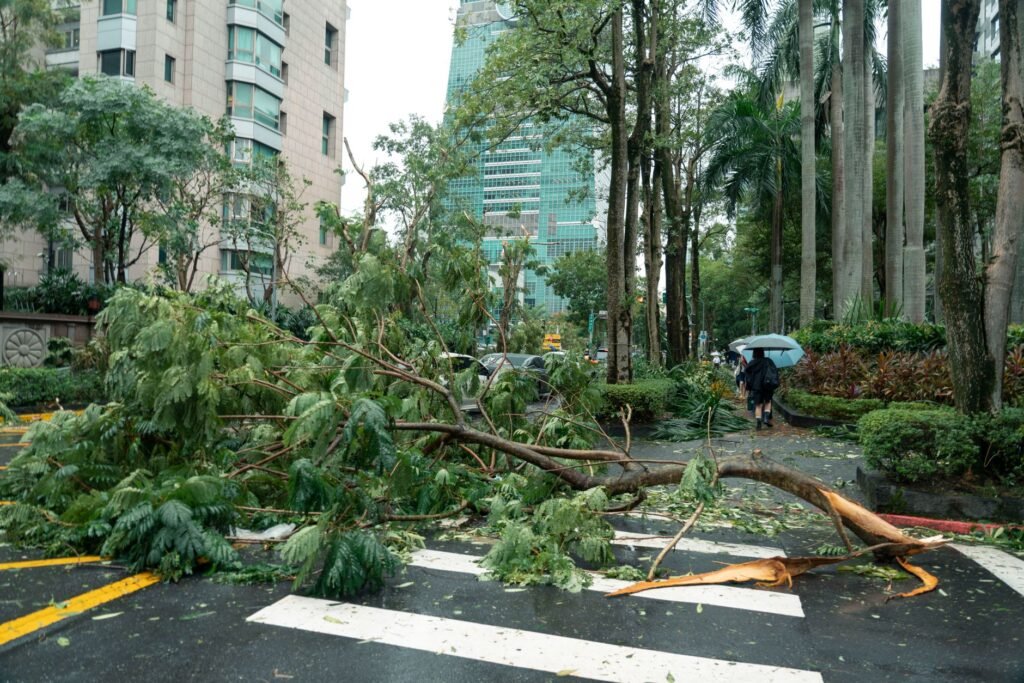
The storm’s central pressure has dropped significantly over the last 12 hours, signaling a highly organized and dangerous core. Unlike smaller tropical systems, Dolphin features an unusually wide wind field, meaning that even areas not directly in the path of the eye will likely experience typhoon-force winds and life-threatening storm surges. The primary focus for US interests remains on Guam and the Commonwealth of the Northern Mariana Islands (CNMI), where emergency declarations are already in effect.
Projected Path and Landfall Timelines
Current modeling suggests a northwestward trajectory that puts Super Typhoon Dolphin on a direct course for the Mariana Island chain. While storm paths can be unpredictable, the consensus among meteorologists points to a peak impact window between late Friday and early Saturday. The speed of the storm has slowed slightly to 12 miles per hour, which is a concerning development for residents as it increases the duration of extreme wind exposure and total rainfall accumulation.
Residents should monitor the latest satellite imagery and local advisories. Landfall, or the closest point of approach, is expected to bring devastating conditions to Rota, Tinian, and Saipan. For those tracking the storm from the US mainland, particularly those with family or business interests in the Pacific, the high-pressure system currently sitting to the north of the storm is the key variable that will determine if Dolphin veers toward the open sea or maintains its current destructive course toward populated areas.
Impact on US Territories: Guam and the Northern Mariana Islands
Guam is currently under Tropical Cyclone Condition of Readiness (TCCOR) 1. This means that destructive winds are expected within 12 hours. Local government offices and most private businesses have suspended operations to allow employees to secure their homes. The Super Typhoon Dolphin 2026 Impact is expected to be the most significant weather event for the region since the major storms of the early 2020s, testing the upgraded infrastructure and power grids installed over the last few years.
Emergency shelters have been opened across the islands, and residents in low-lying areas are being urged to evacuate. The storm surge is projected to reach between 15 and 20 feet in certain bays, which could lead to severe coastal erosion and damage to port facilities. Maintaining communication is a priority, but residents are warned that satellite and cellular services may become intermittent as the storm’s core passes through.
Airline Disruption and Travel Rights for Passengers
The aviation sector is feeling the immediate effects of Dolphin’s approach. Major carriers including United Airlines, Delta, and Japan Airlines have already announced dozens of cancellations for flights heading into and out of the Western Pacific hubs. For travelers, this storm coincides with an already busy summer travel season, leading to significant bottlenecks at major connecting airports.
If you are traveling through the Pacific this week, it is vital to understand your rights. Under the new 2026 FAA flight rules, airlines are required to provide clear communication regarding weather-related delays and ground stops. While weather is considered an ‘act of God’ and usually exempts airlines from paying cash compensation, many carriers are currently offering fee-free rebooking and travel vouchers for those whose plans are disrupted by the typhoon.
Major Airport Status Updates
- Antonio B. Won Pat International (GUM): Expected to suspend all commercial operations by tonight.
- Saipan International (SFP): Cargo only; passenger service suspended.
- Honolulu International (HNL): Monitoring for potential long-range shipping and flight route diversions.
- Narita/Haneda (Japan): Delays expected for all southbound Pacific routes.
Emergency Preparedness: The 2026 Safety Checklist
Preparation is the single most important factor in surviving a super typhoon of this magnitude. If you are in an affected area, your emergency kit should be fully stocked and easily accessible. The goal is to be self-sufficient for at least 72 hours, as rescue teams may be unable to reach certain areas immediately after the storm passes.
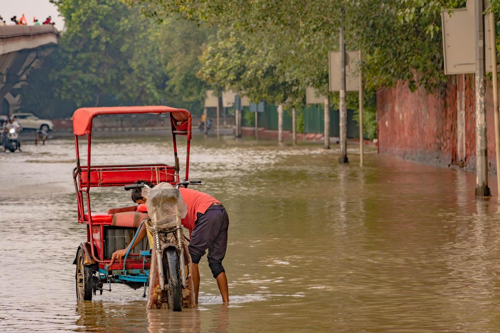
Similar to the protocols used during the Capital District Floods 2026 recovery, having a digital and physical backup of your most important documents is essential. This includes insurance policies, identification, and medical records. Store these in a waterproof container or a secure cloud-based digital vault.
Essential Typhoon Kit Items
- Potable Water: One gallon per person per day for a minimum of three days.
- Non-Perishable Food: High-protein items that do not require cooking.
- Power Banks: Fully charged external batteries for mobile devices.
- First Aid: A comprehensive kit including any prescription medications for at least two weeks.
- Manual Tools: A multi-tool, manual can opener, and a battery-powered or hand-crank radio.
Typhoon Intensity Comparison Table
Understanding how Super Typhoon Dolphin compares to historical storms can help residents gauge the level of threat. The following table outlines the wind speeds and potential damage levels associated with Western Pacific typhoons.
| Classification | Wind Speed (MPH) | Potential Damage Level | Storm Surge Height |
|---|---|---|---|
| Category 1 | 74-95 | Minimal: Small branches down | 4-5 Feet |
| Category 2 | 96-110 | Moderate: Roof and siding damage | 6-8 Feet |
| Category 3 | 111-129 | Extensive: Major structural damage | 9-12 Feet |
| Category 4 (Dolphin Status) | 130-156 | Devastating: Total wall failures possible | 13-18 Feet |
| Super Typhoon (Cat 5) | 157+ | Catastrophic: Complete structure destruction | 19+ Feet |
Maritime and Supply Chain Disruptions
The impact of Super Typhoon Dolphin extends far beyond the land. The Western Pacific is a critical corridor for global shipping. As the storm passes, major shipping lanes are being diverted, which will likely cause a ripple effect in the delivery of consumer electronics and automotive parts to the US West Coast. Ports in the region have halted the loading and unloading of containers to prevent crane damage and cargo loss.
According to the Joint Typhoon Warning Center, wave heights near the eye of the storm are exceeding 40 feet. This makes maritime travel impossible for even the largest container ships. Consumers should expect minor delays in ‘just-in-time’ delivery services over the next two weeks as the logistical backlog is cleared.
Post-Storm Recovery and Resources
Once the eye of the storm has passed, the danger is not over. Post-storm environments are often more hazardous due to downed power lines, unstable structures, and contaminated water supplies. Residents are urged to stay indoors until local authorities issue an official ‘all clear.’ The risk of flash flooding remains high for several days after the wind subsides as the massive amounts of rainfall drain from high-elevation areas.
Federal resources, including FEMA and the Red Cross, are already staging supplies in Hawaii and neighboring islands to be deployed as soon as it is safe to fly. For real-time updates, residents should continue to monitor local radio stations and official government social media channels, which often remain active via low-bandwidth emergency networks even when the broader internet is down.
Conclusion
Super Typhoon Dolphin 2026 is a reminder of the increasing volatility of Pacific weather patterns. By taking proactive steps now—securing property, understanding travel rights, and preparing emergency kits—residents and travelers can significantly mitigate the risks posed by this powerful system. Stay tuned to authoritative sources like the National Weather Service and local emergency management offices as this situation evolves over the coming hours.
Frequently Asked Questions
When is Super Typhoon Dolphin expected to make landfall?
Landfall or the closest point of approach to the Mariana Islands is projected for late Friday, July 31, into Saturday, August 1, 2026.
Are flights to Guam and Hawaii being cancelled?
Yes, many airlines have already cancelled flights to Guam and the CNMI. Flights to Hawaii are currently being monitored for route diversions but remain largely operational.
What is the current wind speed of Super Typhoon Dolphin?
As of July 30, 2026, the storm has sustained winds of 155 mph, making it a powerful Category 4-equivalent super typhoon.
How should I prepare my home for a typhoon?
Board up windows, secure outdoor furniture, stock up on three days of water and food, and ensure all electronic devices and power banks are fully charged.